

The full scale of the humanitarian tragedy on the Indonesian island of Sulawesi has been detailed by the British charity, MapAction.
On September 28th, Sulawesi was struck by a 7.5 magnitude earthquake, triggering mudslides which submerged entire villages and a powerful tsunami with waves of up to six metres tall.
Hundreds of aftershocks have since occurred, including a 5.1 magnitude quake on October 8th.
Over 2,000 people are known to have died, 10,679 have been injured and the fate of another 5,000 islanders remains uncertain.
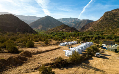
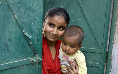
At least 82,000 people are staying in temporary shelters in unhygienic conditions and some 200,000 currently need humanitarian assistance.
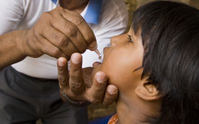
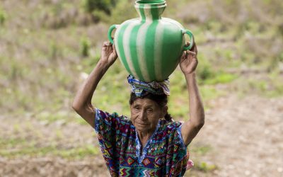
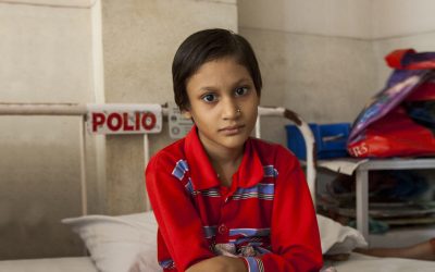
There is a risk of water-borne diseases as many water sources and pipes have been destroyed or contaminated, and many people now lack access to safe drinking water as well as adequate food.
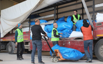
Efforts to help have been hampered by blocked roads, collapsed bridges and serious risks of landslides in many areas as well a bottleneck at the closest airport to the disaster zone.
At least 82,000 people are staying in temporary shelters in unhygienic conditions and some 200,000 currently need humanitarian assistance.
Humanitarian mapping charity MapAction has been mapping the situation since the disaster happened, working closely with the ASEAN Coordinating Centre of Humanitarian Assistance on Disaster Management in Indonesia, to ensure that rescue and recovery teams have situation maps which are continually updated and reliable.
As well as providing essential information about what’s happening on the ground, MapAction has been able to plot the likely needs of affected populations in hard to reach areas – some affected communities can still only be reached on foot.
The charity has also focused on the ongoing risks from potential hazards such as landslides and water-borne diseases, which are being exacerbated by heavy rain.
To do this, MapAction’s expert volunteers are using specialist geographical modelling techniques and satellite imagery.
This information will continue to be invaluable in keeping response teams and local communities safe as we move into the recovery phase of the disaster, and MapAction personnel will remain in Indonesia for several more weeks.